diy solar

diy solar

Ground Mount Planning / Help Placing Ground Mount

faccnator

New Member
Joined
May 27, 2021
Messages
109
Hello wonderful forum

It’s time to plan my ground mounts. I have 8 acres. Need to pick the best spot around trees and shadows etc. What is the best tool to do so. Physical tool or an app or what have you. I don’t mind spending a few dollars. What I spend now I will save later.

Thank you all

Faccnator
 
I feel like I can’t tell where a particular tree might shade a particular spot all day and all year based on the position of the sun
 
Then take the biggest open space you have and place it towards the center east/west side and more to the north side of said space with panels facing southward. Assuming you are in the northern hemisphere….
 
I feel like I can’t tell where a particular tree might shade a particular spot all day and all year based on the position of the sun
If you have an iPhone, then download the app "Sun's Path". You can point your camera at any point in the sky, and using "augmented reality" display feature will show the position of the sun on any particular time/day of the year. Select winter equinox date on the app, then walk around your property and point your phone upwards to find a good location. If you don't have an iPhone, there are probably similar apps for Android.
 
I have used a laser and a speed square to find the angle for different seasons, shoot the laser at the nearby trees for summer and winter sun angles to find panel placement. Your Latitude will help you determine panel tilt as well as panel location on your property.
 
If you have an iPhone, then download the app "Sun's Path". You can point your camera at any point in the sky, and using "augmented reality" display feature will show the position of the sun on any particular time/day of the year. Select winter equinox date on the app, then walk around your property and point your phone upwards to find a good location. If you don't have an iPhone, there are probably similar apps for Android.
I used "Sun Position" on Android. Works the same way. Just point your phone to the sky and it will show you the sun's path from the point you're standing. You can go forward/backward as far as dates so you can calibrate for the solstices.
 
Hello wonderful forum

It’s time to plan my ground mounts. I have 8 acres. Need to pick the best spot around trees and shadows etc. What is the best tool to do so. Physical tool or an app or what have you. I don’t mind spending a few dollars. What I spend now I will save later.

Thank you all

Faccnator

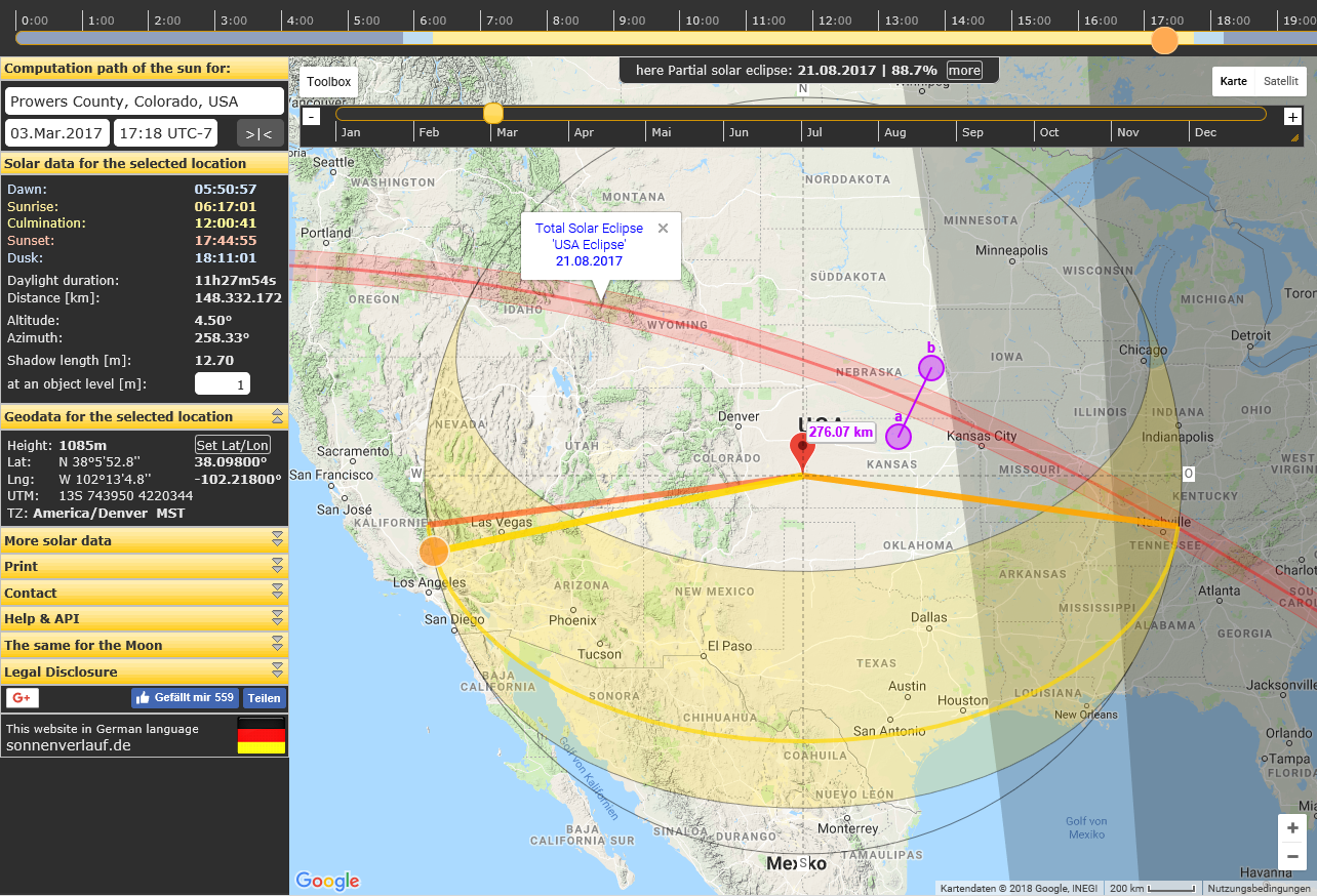
Use a desktop PC browser. Go here:

  • Input your own address.
  • Set to use the ESRI base map - seems to provide the most current satellite view.
  • Drag the map so the red circle is over your tallest obstacle of choice that might shade the area where you want to put your solar panels.
  • Set date to Dec 21, 2024. Winter solstice - shortest day of the year. E.g. least sun and when shade is most debilitating to solar panels.
  • Set obstacle level (in meters) to match the height of where you set the red circle.
  • Drag the yellow slider at top of screen left and right to see what the shadow does
  • Change dates to different times of year to see how sun and shadow behaves on the chosen date.

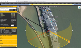
1714764142954.png
 
Back
Top